
Surveying & Topography
Precise site layouts and mapping.
Reliable surveying and topographical mapping resources for precise site layouts and development planning.
What's included
- —Topographic mapping
- —Boundary & site layout
- —Supports grading & land work
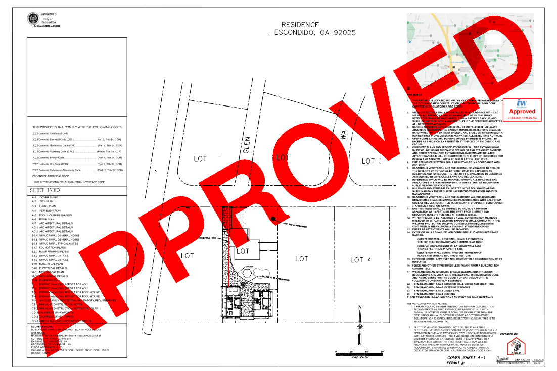
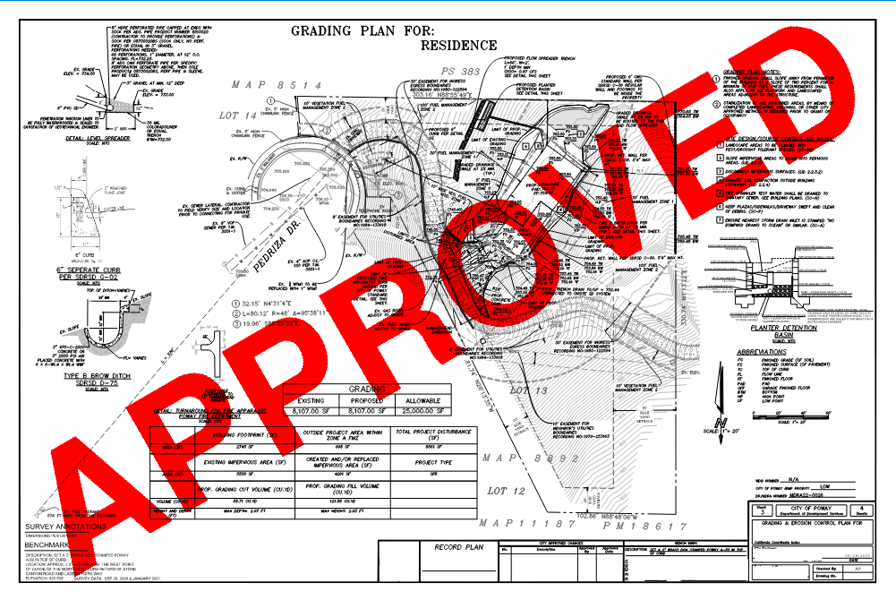
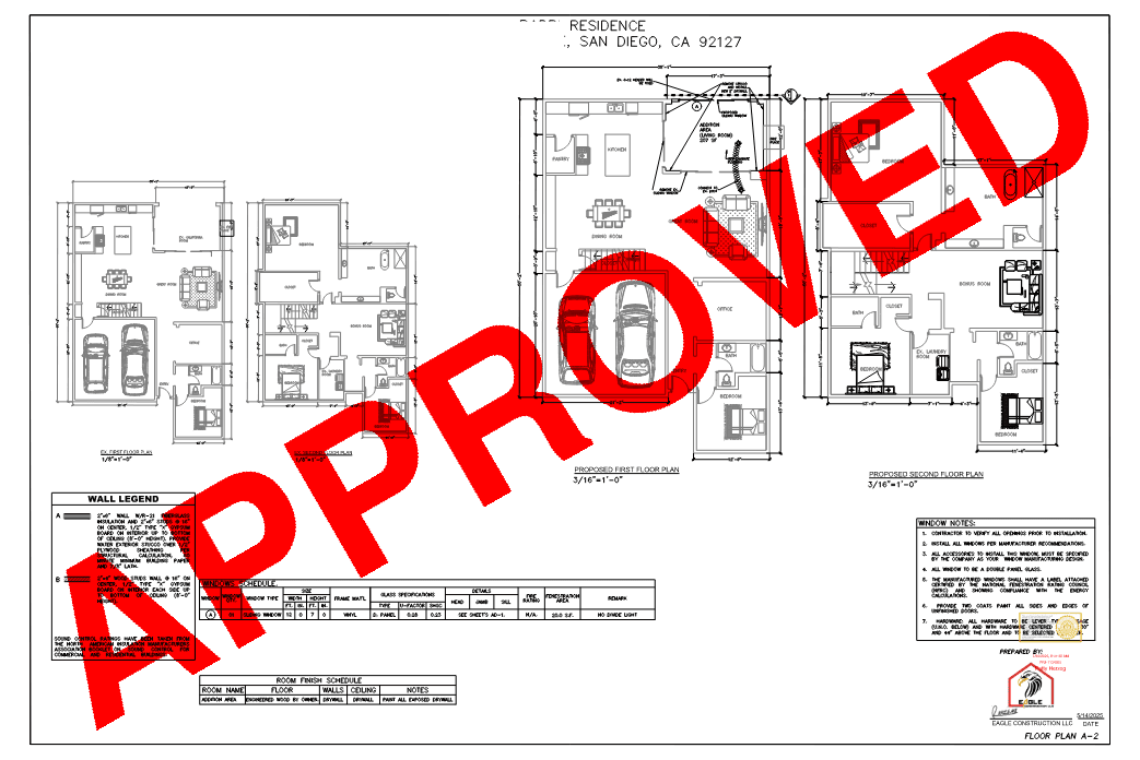
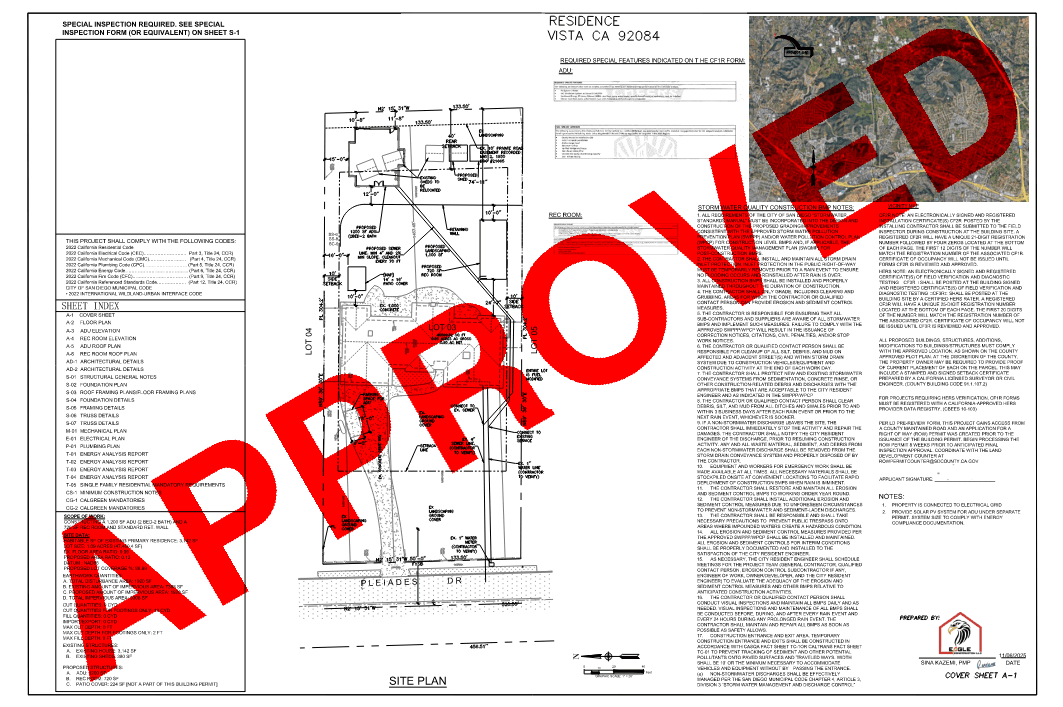
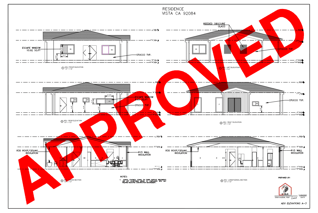
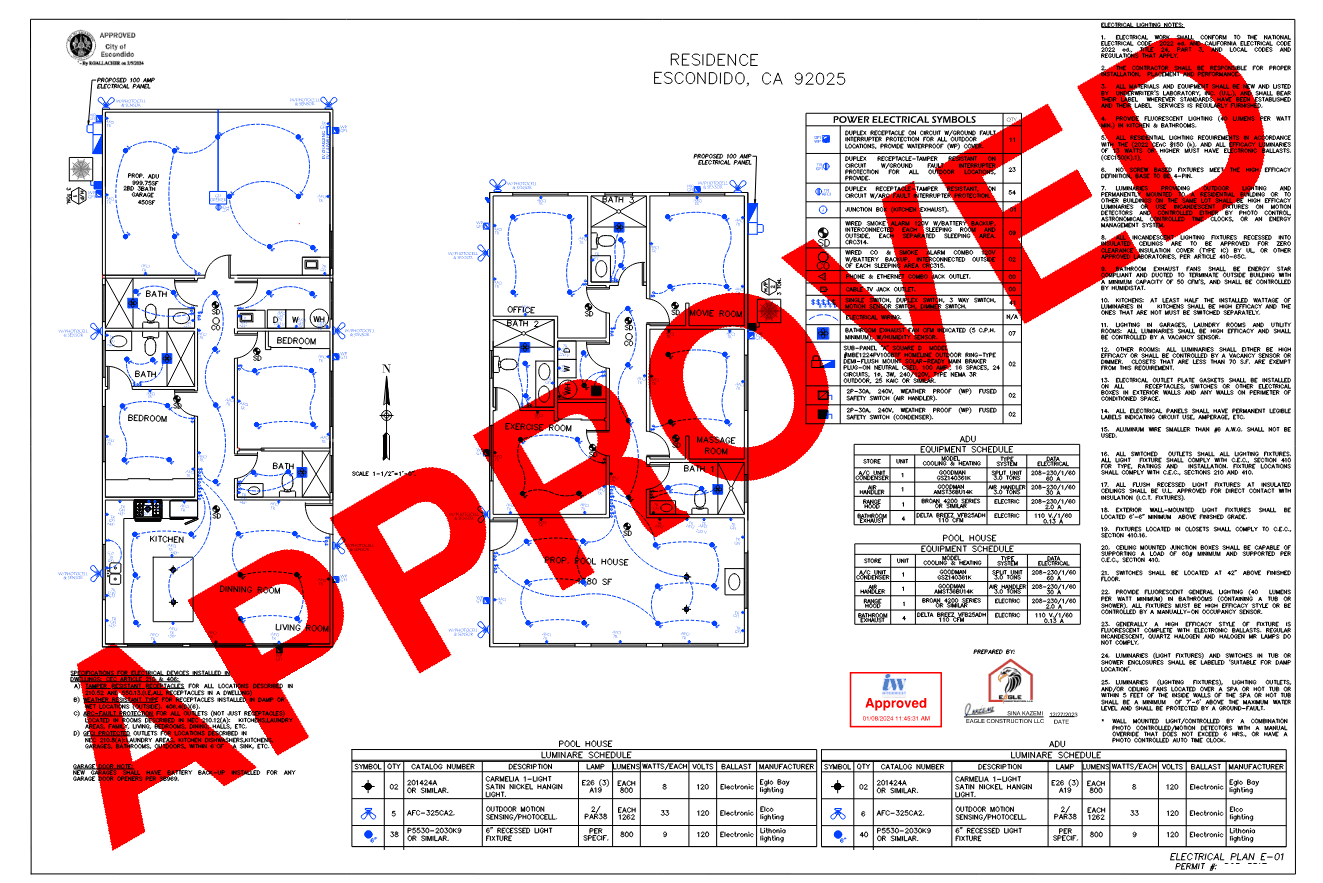
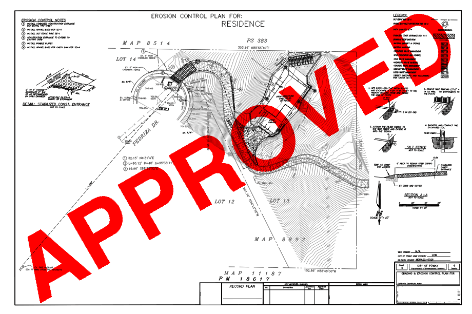
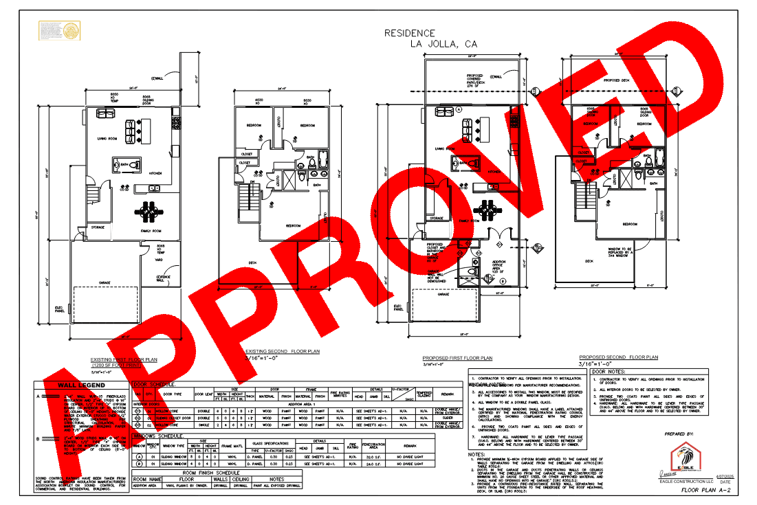
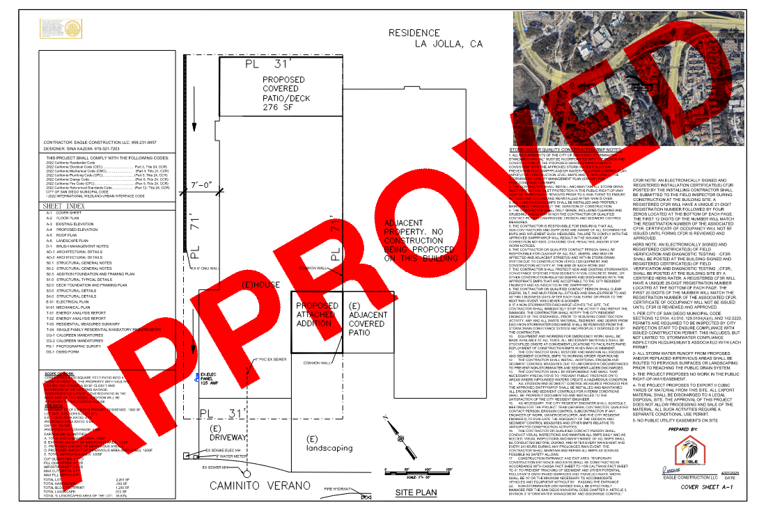
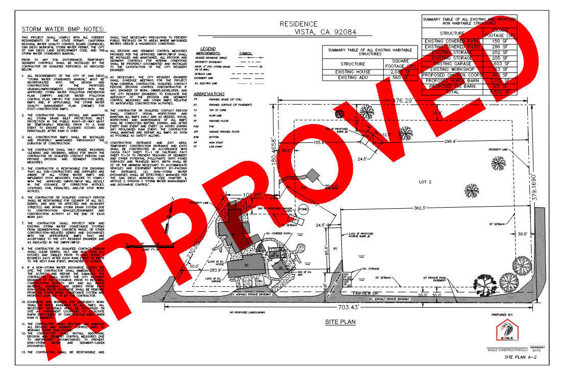
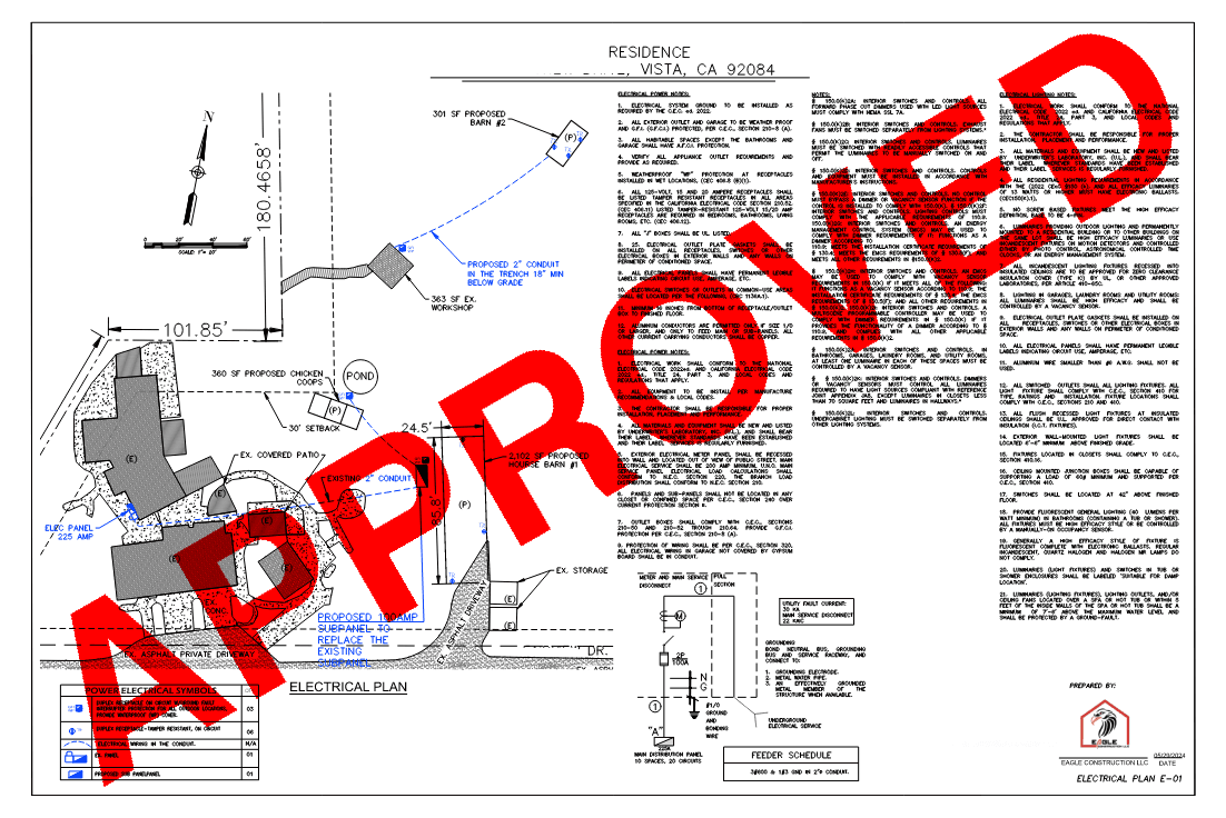
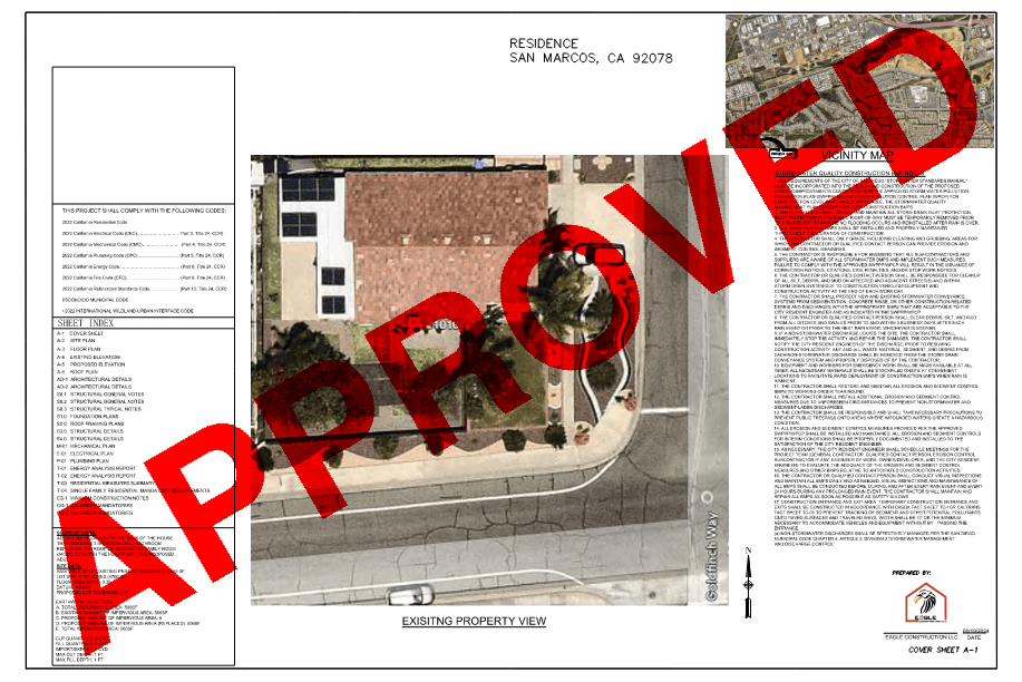
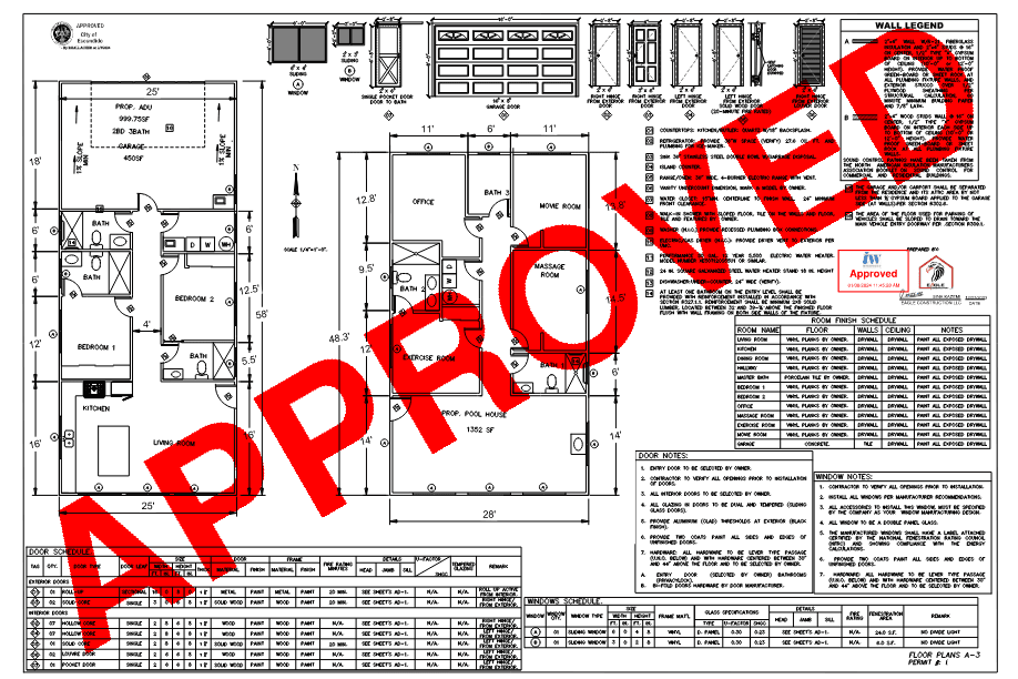
Approved plans, engineered in-house
Real plan sets we drew, stamped, and got approved through San Diego–area jurisdictions — not stock images.
Goes hand-in-hand with
Projects our clients usually pair with this one.
Common questions
- When do I need a survey or topographic map?
- Usually before grading, an addition, or any project that depends on exact property lines and elevations. Accurate site layouts and topography keep your plans buildable and your permits clean, and they head off costly boundary or setback surprises later in the project.
- Does surveying support the rest of the engineering?
- Yes — topography and boundary data feed directly into grading, drainage, and site planning. Having it captured accurately up front means the rest of the engineering is built on real site conditions rather than assumptions, which prevents rework down the line.
Get your surveying estimate
Real numbers from the team that does the work — permits and engineering handled in-house. No obligation.
SurveyingNo obligation. We'll never share your details.